This Algonquin Park map covers the area from the Town of Whitney in the east to Kawagama Lake outside the park in the west, and from Canoe and Opeongo lakes in the north to Hay and Madawaska Lakes in the south. It also shows Dividing Lake Provincial Park, home of towering old growth white pines. Includes campsites, portages, access points, hiking trails, campgrounds, historic sites and local attractions.
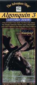
4012-806 Adventure Map Algonquin P.P.3 Map - South
Adventure Map
MSRP:
Was:
Now:
$15.95
(You save
)
(No reviews yet)
Write a Review
Write a Review

Adventure Map
4012-806 Adventure Map Algonquin P.P.3 Map - South
- SKU:
- 4012-806
- UPC:

Jeff's Map
5039-179 Jeff's Map Algonquin Map for Canoeists - Central 2nd Edition
MSRP:
Was:
Now:
$16.50

Jeff's Map
5039-181 Jeff's Map Algonquin Map for Canoeists - Southern 2nd Edition
MSRP:
Was:
Now:
$16.50

Jeff's Map
5039-180 Jeff's Map Algonquin Map for Canoeists - Eastern 2nd Edition
MSRP:
Was:
Now:
$16.50