
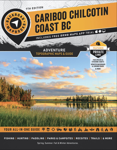
Discover the Cariboo Chilcotin Coast, a vast wilderness region known for rugged mountains, remote valleys, wild coastlines, and endless outdoor opportunities. From fishing the lakes along the Fishing Highway to paddling coastal inlets near Bella Coola or exploring Tweedsmuir Provincial Park, this region offers unforgettable backcountry adventures.
- Updated 5th Edition adds expanded recreation information including labelled fish species, private land areas, fish stocking charts, hiking trail charts, new points of interest, and a dedicated backcountry huts and cabins section
- 59 detailed topographic maps cover the Cariboo Chilcotin Coast with recreation sites, amenities, highways, backroads, trails, and points of interest for confident navigation
- Comprehensive adventure guides feature expert information for hiking, paddling, fishing, hunting, ATVing, wildlife viewing, camping, and more throughout the region
- Service directory highlights accommodations, outfitters, outdoor tours, fishing and hunting suppliers, and local amenities to help plan your trip
- Easy to use index and trip planning tools include map references, adventure listings, distance charts, and key contacts for quick navigation
- Community profiles showcase towns including Lillooet, Williams Lake, Quesnel, Wells, Barkerville, Likely, Bella Coola, and more with local highlights and nearby activities
- Our detailed adventure section is one of the features that makes your Backroad Mapbook so much more than just a map of the Cariboo Chilcotin Coast. From hiking to hunting, ATVing, paddling, wildlife viewing and beyond, our team of writers and researchers have come up with the most comprehensive adventure information available anywhere for this region.
- New to this edition, are included detailed profiles for the major communities of the Cariboo Chilcotin Coast, including Lillooet, Williams Lake, Quesnel, Wells, Barkerville, Likely, Bella Coola and several others.


