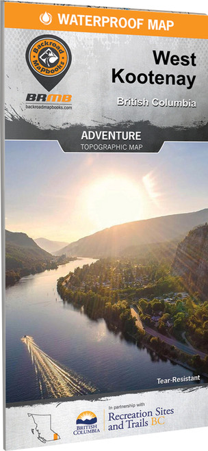
Explore the pristine mountain wilderness of the West Kootenay region. This map charts this entire recreation-rich region and features a 20,000 + km² expansion from the last edition. Whether you are looking to hike, camp, fish, paddle, swim, ski, snowshoe, hunt or ATV, this map gives you the most comprehensive coverage available anywhere.
- Expanded coverage now extends north to Golden, Kinbasket Lake, and Banff National Park, west to Grand Forks and Granby Provincial Park, and south through Kaslo, Nelson, Trail, and surrounding areas
- Waterproof, tear resistant map stands up to repeated use in the backcountry and changing weather
- Detailed topographic mapping features advanced relief shading and up to date cartography for confident navigation
- More than 43,000 km of roads include highways, paved roads, forestry roads, and resource roads
- Over 4,100 km of multi use trails support hiking, mountain biking, cross country skiing, snowshoeing, horseback riding, and more
- Nearly 4,000 km of ATV and snowmobile trails help you explore by motorized recreation
- 420 km of paddling routes include boat launches, campsites, put ins, and take outs for canoeing and kayaking
- Fishing information highlights more than 60 stocked lakes, 180 native fisheries, and fish species directly on the map
- Clearly marked private leased land helps you stay within permitted areas while exploring
- Comprehensive recreation index includes parks, trails, recreation sites, backcountry huts, cabins, and hot springs for easier trip planning