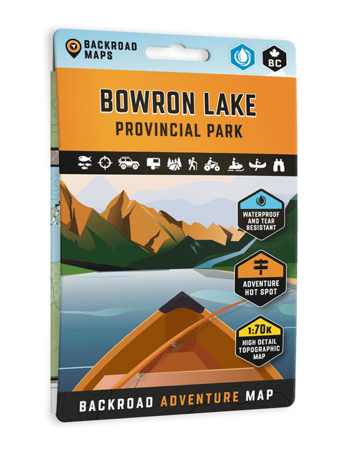
Explore the wilderness of Tweedsmuir Park, the Alexander Mackenzie Heritage Trail, the Turner Lake Canoe Route, and the Bella Coola Valley with this waterproof adventure map. Featuring canoe routes, access points, campsites, cabins, portage trails with distance markers, fish species, hiking trails, waterfalls, and key points of interest, it’s an essential guide for paddling, fishing, camping, wildlife viewing, and exploring BC’s rugged coast and backcountry.
- New larger format makes the map easier to read, measuring 5 x 8.25 inches folded and 27.8 x 39.4 inches unfolded
- Expanded adventure information includes trip planning details for the park, camping, outfitters, picnic areas, paddling routes, fishing areas, hiking trails, multi use routes, and outdoor tips
- Waterproof and tear resistant construction is built to handle rugged outdoor use in changing conditions
- Industry leading cartography combines detailed mapping with advanced relief shading for confident navigation
- Comprehensive recreation coverage highlights points of interest, hiking trails, campsites, boat launches, paddling routes, and more throughout the region