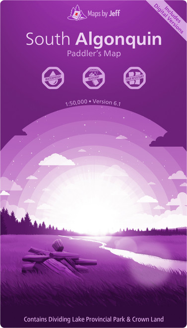
The West Algonquin Paddler's Map by Maps by Jeff is a waterproof, detailed map designed for canoeists exploring western Algonquin Provincial Park. It provides essential route information, topographical details, and points of interest to support efficient trip planning and enhance outdoor navigation.
- Waterproof map tailored for Algonquin Provincial Park paddlers
- Clearly marked canoe routes and portages with distances and times
- Topographical details including elevation profiles and terrain features
- Points of interest such as historical sites and natural landmarks
- Includes multiple digital formats: Avenza Maps, Garmin, Google Earth, JPEG, GeoTIFF