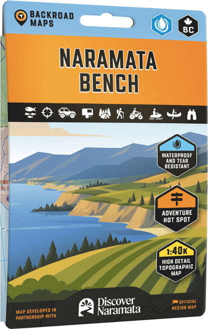
Explore the Naramata Bench and surrounding British Columbia regions with a map that’s built to keep up with your adventures. Printed on waterproof, tear-resistant material, this double-sided map unfolds to a large 27.8 by 39.4 inches, giving you a detailed 1:40,000 scale view of trails, campgrounds, and scenic spots. Whether you’re hiking, biking, paddling, or just soaking in the views, this map offers all the info you need to navigate and enjoy the area.
- Printed on waterproof and tear-resistant material for durability in the outdoors
- Double-sided design measuring 27.8×39.4 inches for ample detail and usability
- Scale of 1:40,000 provides in-depth topographic information
- Covers Naramata Bench, Okanagan Mountain Provincial Park, Southern Okanagan Lake, and nearby towns
- Includes hiking, mountain biking, horseback riding, ATV trails, fishing spots, paddling routes, campgrounds, resorts, beaches, wineries, and viewpoints