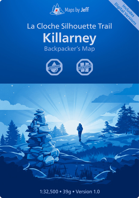
The La Cloche Silhouette Trail Backpackers Map is a detailed and durable navigation tool designed for hikers exploring the 78-kilometre loop in Ontario’s Killarney Provincial Park. It offers comprehensive trail information and elevation profiles to help plan and navigate the journey effectively.
- Detailed overview of the 78-kilometre La Cloche Silhouette Trail loop
- Highlights key landmarks, campsites, and points of interest
- Elevation profiles show changes along the trail
- Waterproof and tear-resistant for rugged outdoor use
- Available in seven formats including printed and digital files
- Includes a high-resolution JPEG for enlargements